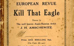
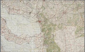
Staatkundig overzicht Europa 1909 Staatkundig overzicht Europa per 1Jan. 1939 veranderde aangezicht der wereld op het oostelijk halfrond in 45 jaar Staatkundig overzicht Europa 1959 Situatie in Oostelijk Halfrond in 1914 veranderde aangezicht der wereld op het oostelijk halfrond in 45 jaar. Samen beter Beter samen : tien jaar Militair Geneeskundig Facilitair Bedrijf Bedrijfsgroep Gezondheidszorg in kaart / [tekst: Gert-jan Gort ... et al. ; interviews en … Cartoon map of the European war area entitled European revue Kill that eagle / drawn by J. H. Amschewitz topografische kaart nederland 1 : 50.000 49 Bergen op Zoom II; topografische kaart nederland 1 : 50.000 61 Maastricht topografische kaart nederland 1 : 50.000 60 Sittard West; topografische kaart nederland 1 : 50.000 50 Breda West